 Airport
 Citta
CittaMilan: Lake Como, Bellagio, Lugano IG Photo Tour with Cruise
10.652 reviews
Buy now
From 81,75€ per person
 Attraction
 Landscape
 District
 Village
If you’re planning to explore Lombardy by car and want to keep a detailed map of roads and routes to hand, we recommend using a paper road map.
Here’s the physical map of Lombardy, showing the region’s main towns and villages. Click on the map to enlarge it.

Lombardy is a region in north-western Italy situated between the crest of the Central Alps, the middle course of the Po River and Lake Garda. It’s one of the largest regions in mainland Italy and among the most densely populated. The region borders Switzerland to the north, Piedmont to the west, Emilia-Romagna to the south, and Veneto and Trentino-Alto Adige to the east.
Population density across the territory is highly uneven, with the majority concentrated in the piedmont strip spanning the provinces of Varese, Como, Lecco, Monza e Brianza, Brescia and Bergamo and in the Milan metropolitan area. Density gradually decreases as you move towards the lower plains and mountain regions.
Lombardy’s territory is 47% flat, 41% mountainous, with the remaining 12% hilly. The highest peaks are found in the Rhaetian Alps and include Bernina (4,049 m), Disgrazia (3,678 m), Ortles (3,905 m) and Adamello (3,555 m).
The prealps are home to numerous lakes, including Lake Maggiore, Lake Lugano, Lake Como, Lake Iseo, Lake Idro and Lake Garda, which is Italy’s largest lake. In the southern part, the Po flows through, Italy’s longest river, fed by tributaries including the Ticino, Adda, Oglio and Mincio.
Lombardy is divided into 12 provinces: Bergamo, Brescia, Como, Cremona, Lecco, Lodi, Mantova, Milan (regional capital), Monza e Brianza (operational since 2009), Pavia, Sondrio, and Varese. The province of Milan became a metropolitan city in 2015.
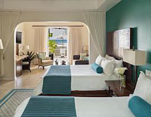 Hotel
Hotel 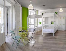 Budget accommodations
  Apartments
  Family Hotel
 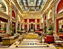 Luxury Hotel
 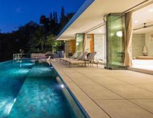 Resorts